
Sajek Valley
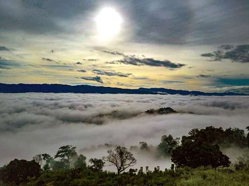
The Queen of Hills, where clouds move through you.
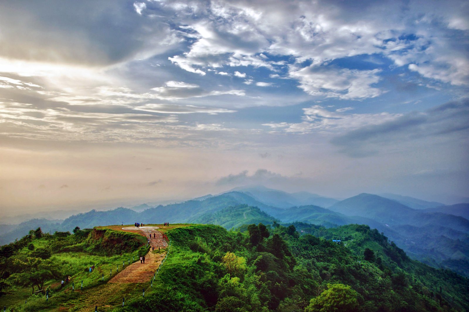
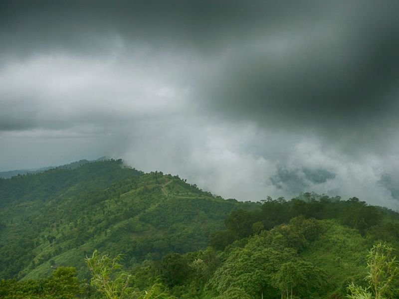
Above the clouds in Rangamati Bangladesh's most photographed valley.
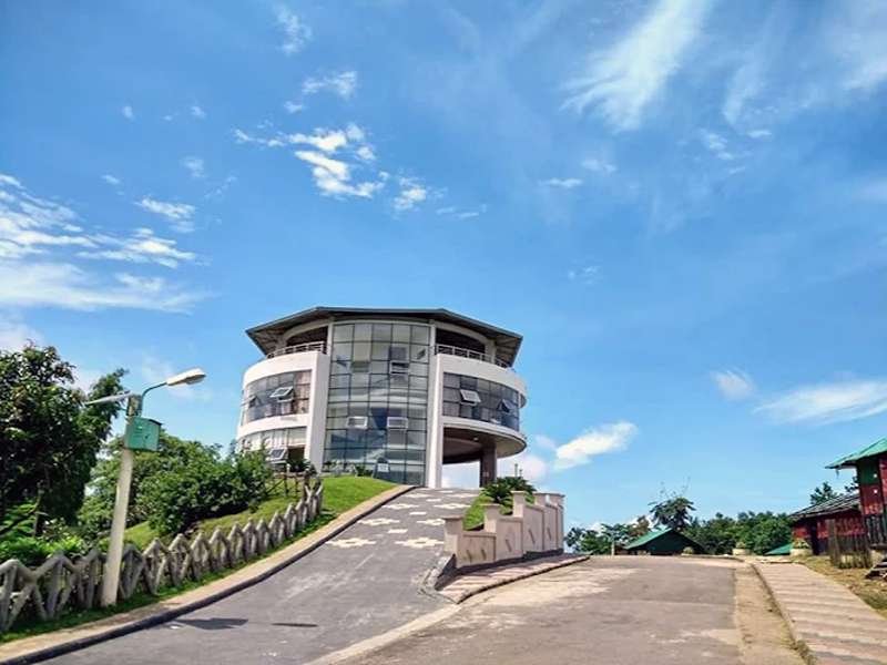
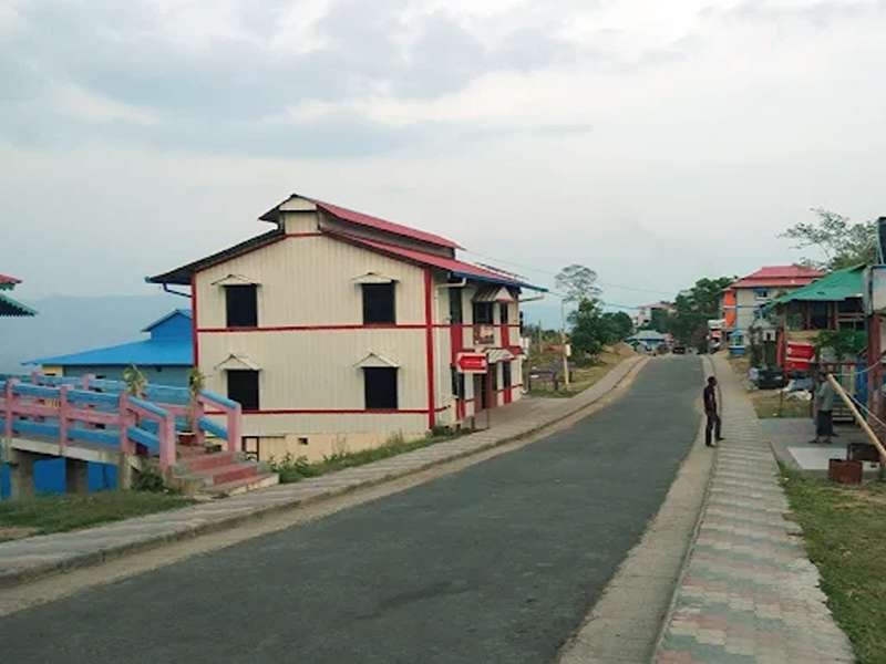
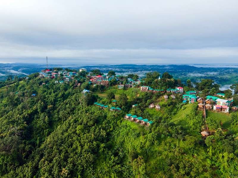
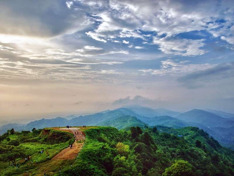
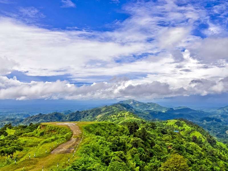
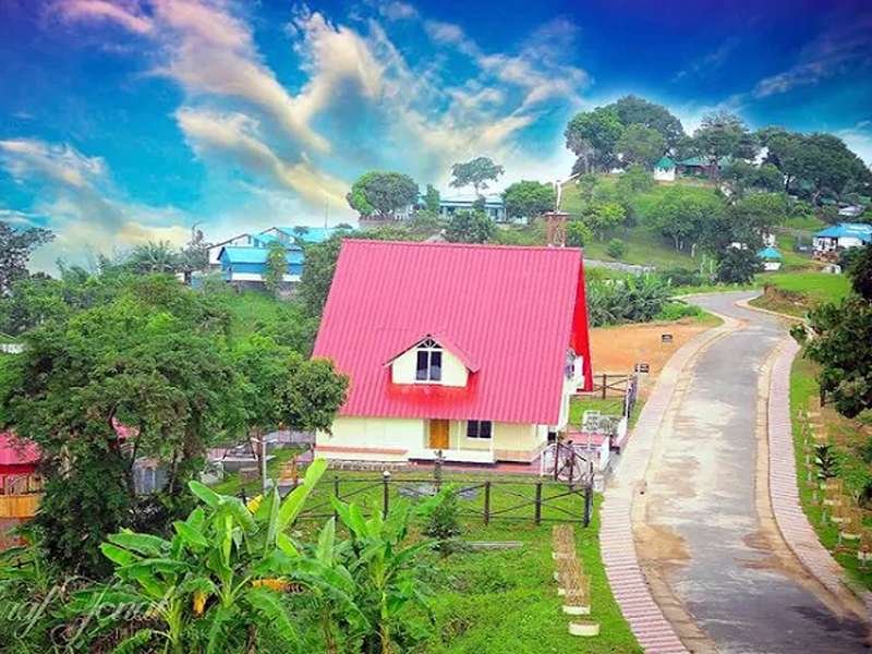
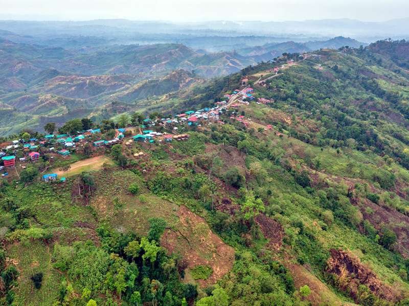
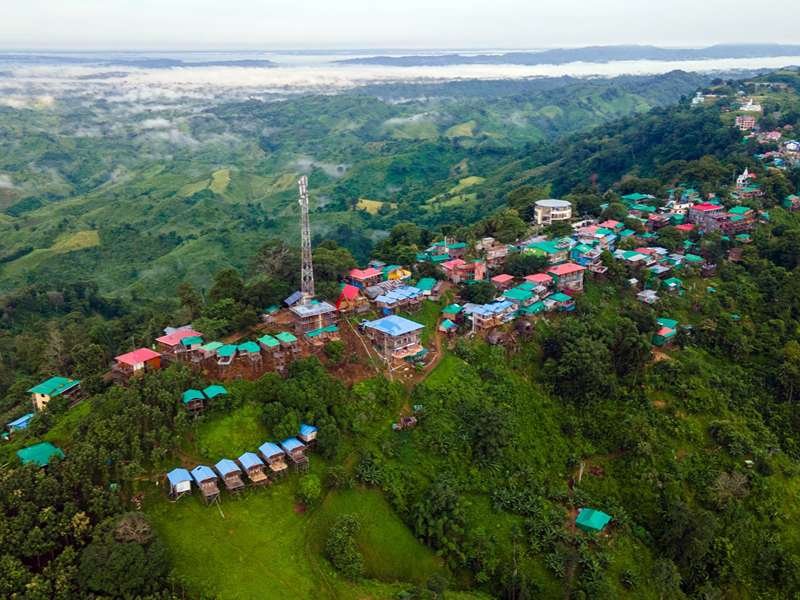
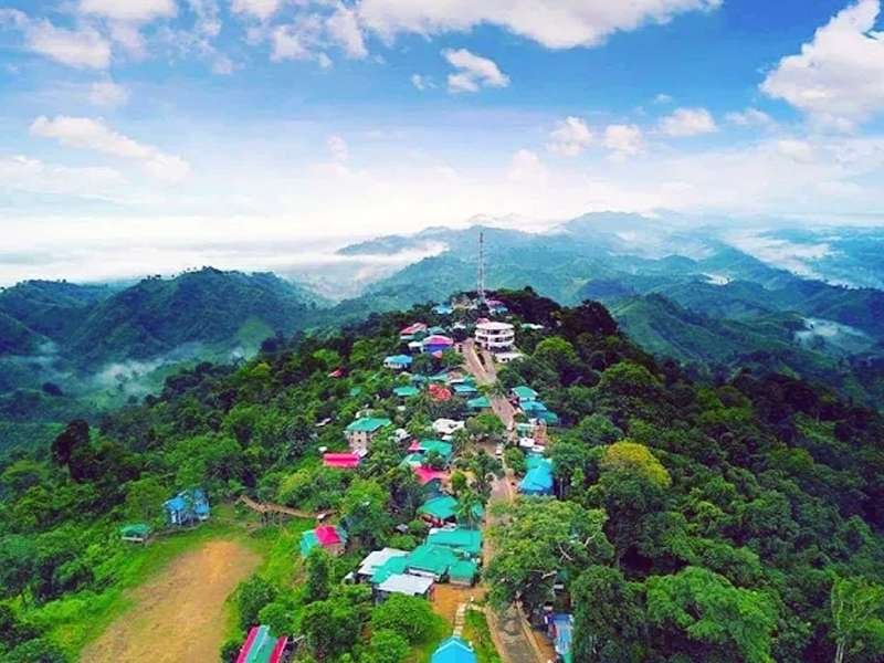
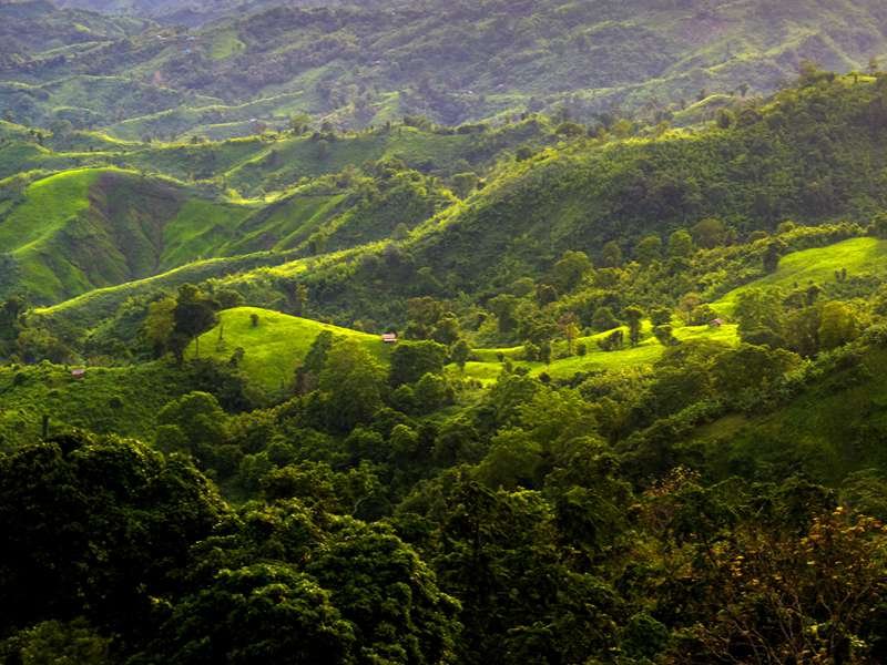
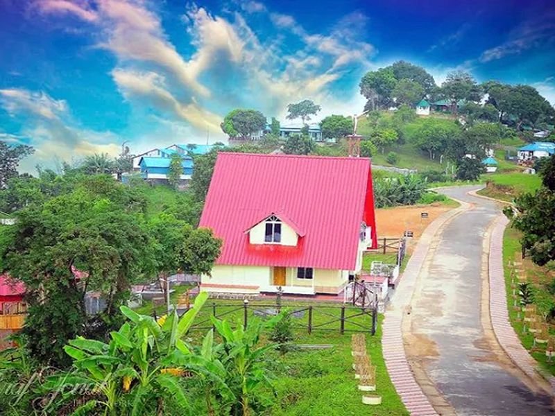
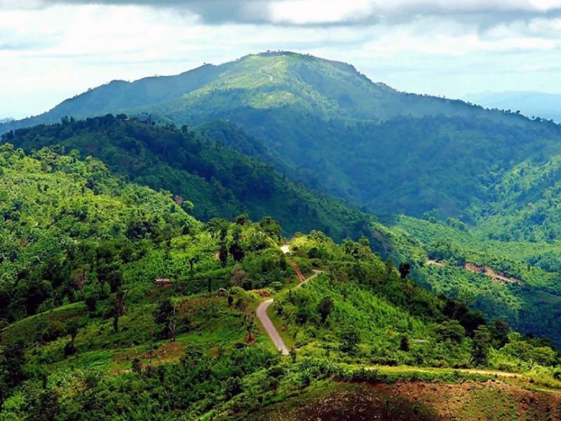
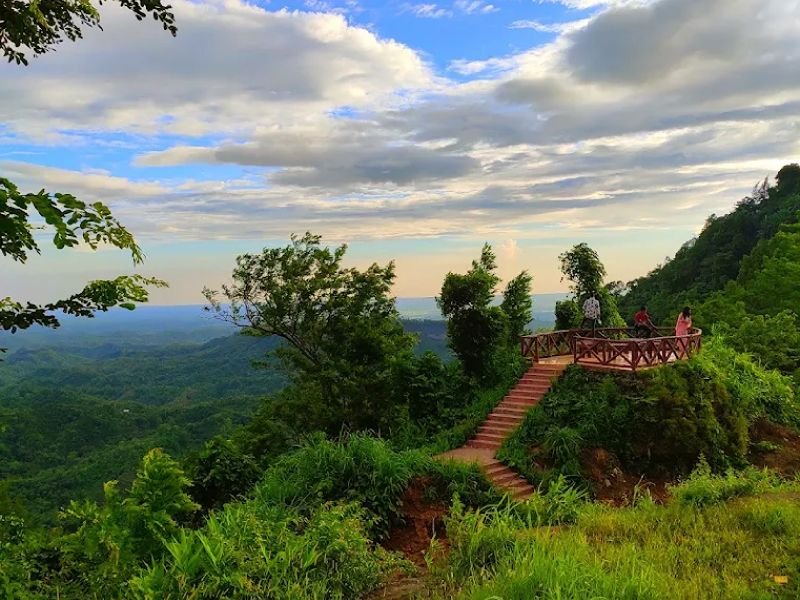
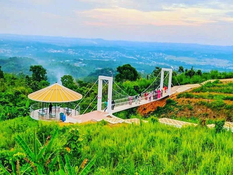
Sajek Valley sits among the Kasalong range of mountains in Baghaichhari upazila of Rangamati district, though most travelers reach it via neighbouring Khagrachari, since that's the easier road. Known as both the "Queen of Hills" and the "Roof of Rangamati," Sajek is the largest union in Bangladesh, spanning roughly 702 square miles, but its fame rests on two villages: Ruilui Para, settled in 1885 at around 1,720 feet, and Konglak Para, the valley's final and highest settlement at up to 1,800 feet. Reported elevations for Sajek vary across sources, from 1,476 feet to 1,800 feet, depending on which part of the valley is being measured.
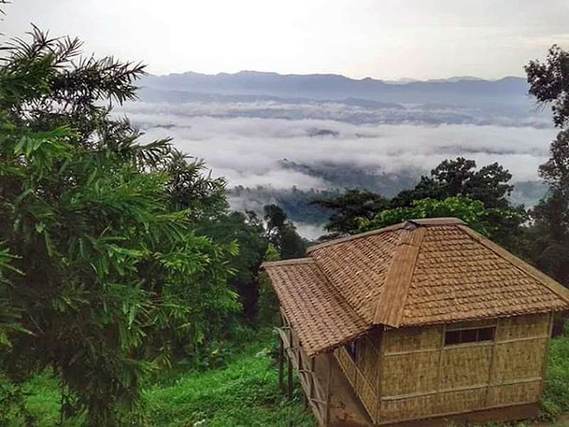
What makes Sajek genuinely unusual is its relationship with clouds: sitting close to the altitude where clouds naturally form, mornings—especially during and after monsoon—bring cloud banks that don't just hover overhead but drift directly through the valley itself. The area is home to Chakma, Marma, Tripura, Lushai (Mizo), Pangkhoa, and Kaibarta communities, and from Konglak Hill, on a clear day, visitors can see across the border into India's Lushai Hills and glimpse the birthplace of the Karnafuli River. A two-hour trek from Ruilui Para leads to Kamalak Waterfall (also called Padaam Toisha Jhorna), and the valley's helipad points are the most popular spots for sunrise.
Immersive Experience
No 360° Videos available
Destination Gallery