
Alutila Hill
Khagrachari's highest point, hiding a mysterious cave.
Where a mountain conceals a tunnel Khagrachari's signature natural wonder.
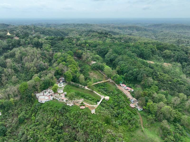
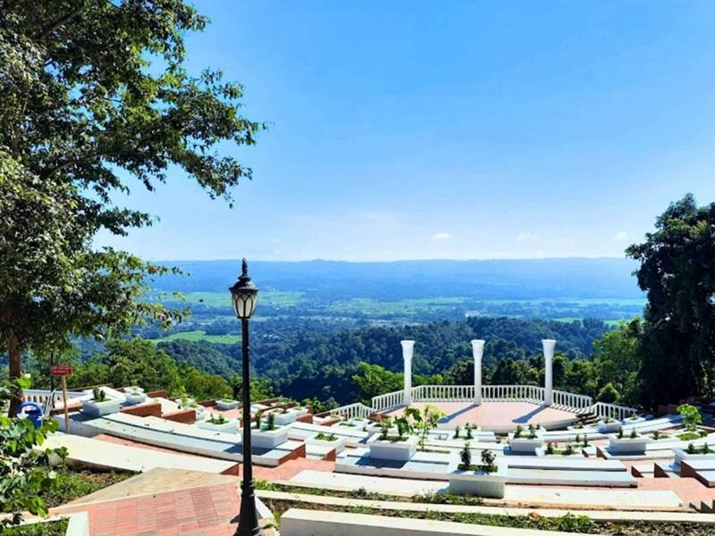
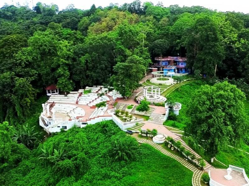
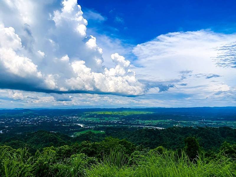
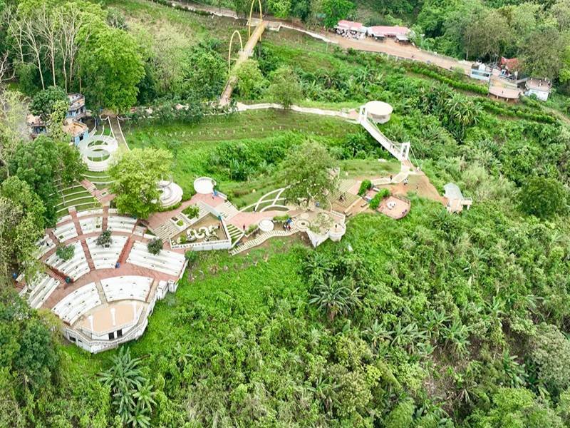
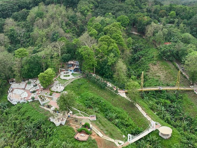
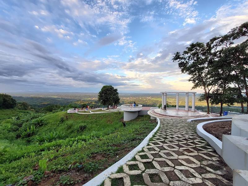
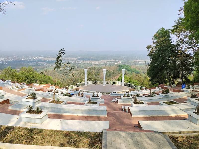
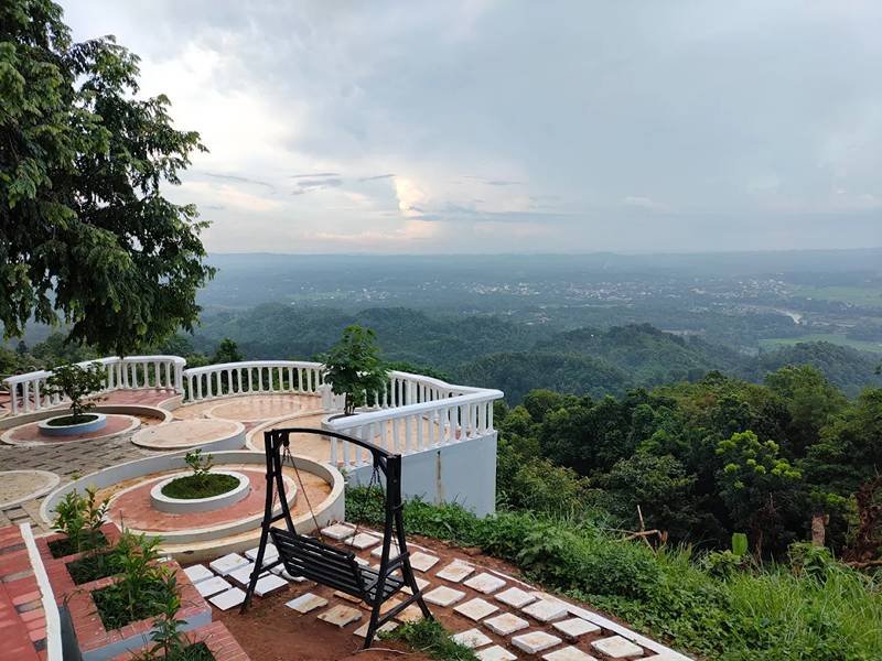
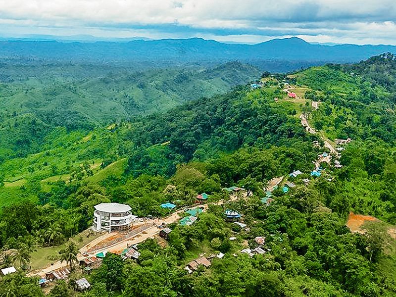
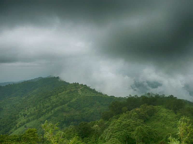
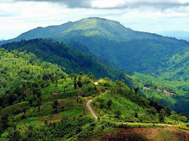
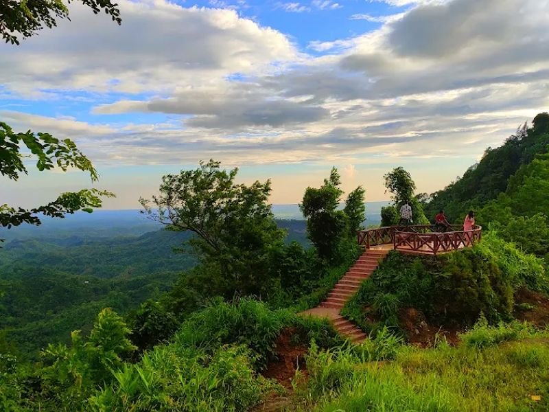
Alutila—formerly known as Mount Arbari, and "potato hill" in local usage—is the highest point in Khagrachari district, reported at up to 1,000 metres (roughly 3,000 feet) above sea level, just 7 km from Khagrachari town in Matiranga upazila. Its main draw isn't the summit view, though that's considerable, but what lies inside it: Matai Hakor, known to visitors as Alutila Cave, a naturally formed tunnel running through the hill's base. Reported lengths for the cave vary from 100 to roughly 280 feet across different sources, with a cold underground stream flowing through its floor.
Reaching the cave mouth involves descending 266 steps from the hilltop, after which visitors—guided only by rented bamboo torches, since the passage is otherwise pitch dark—walk through a slippery, low-ceilinged tunnel that requires crouching at points. Locals refer to it as "Matai Hakor" (Bengali: house of the gods), and it remains one of Khagrachari's most consistently popular picnic and day-trip destinations, drawing visitors year-round.
Immersive Experience
No 360° Videos available
Destination Gallery