
Saka Haphong Peak
Unofficially, Bangladesh's true rooftop.
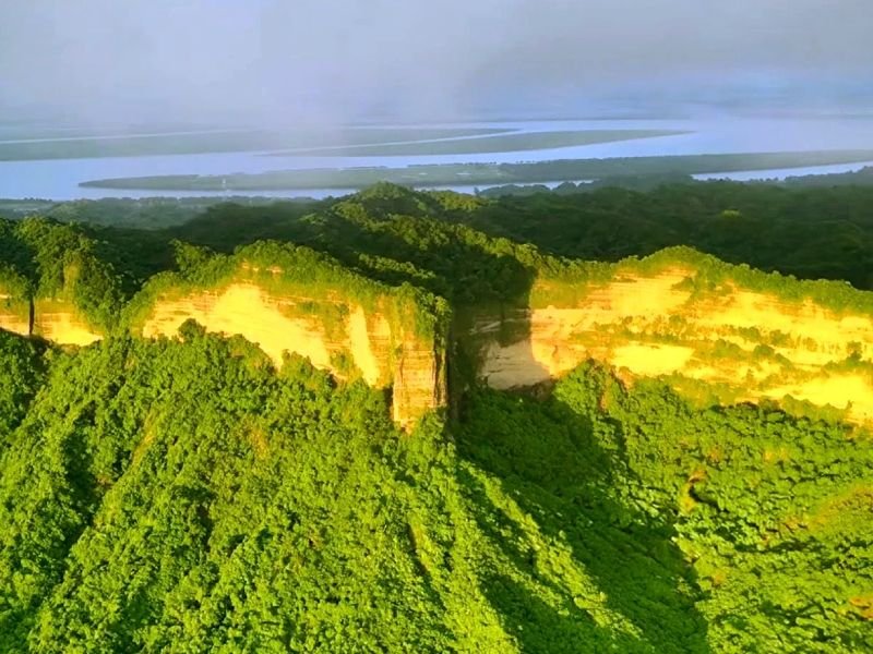
The peak the maps agree on Bangladesh's tallest point, by every modern measurement.
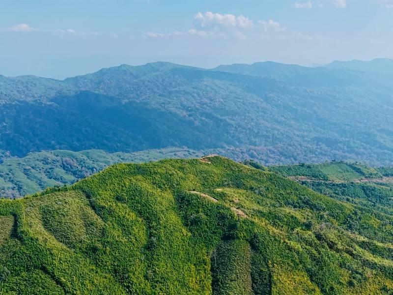
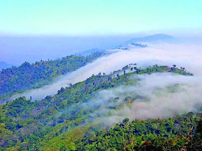
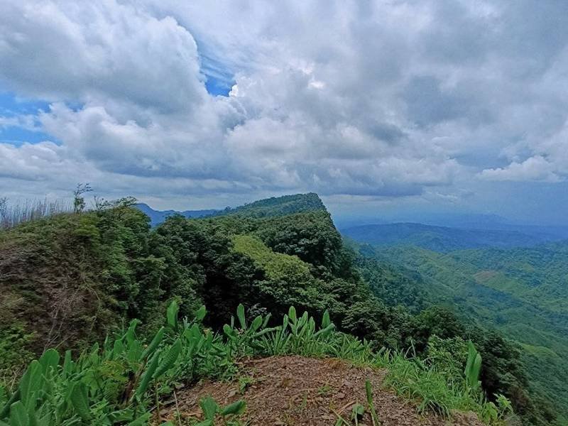
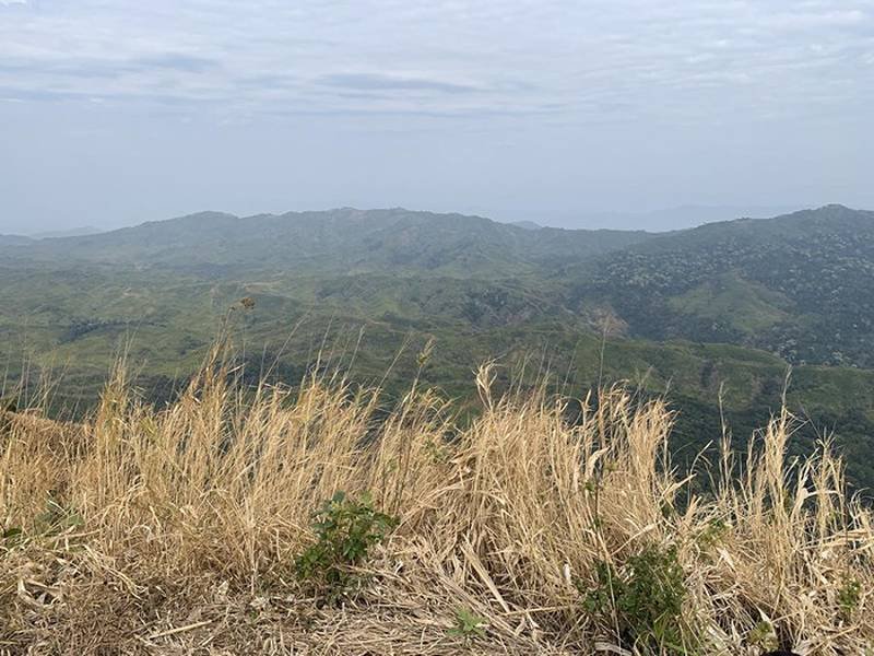
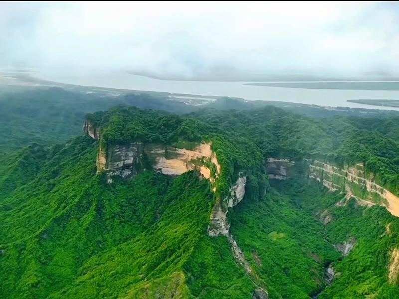
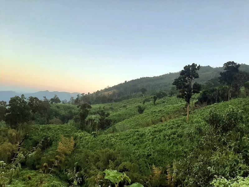
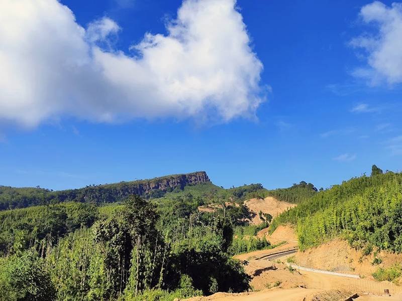
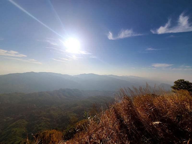
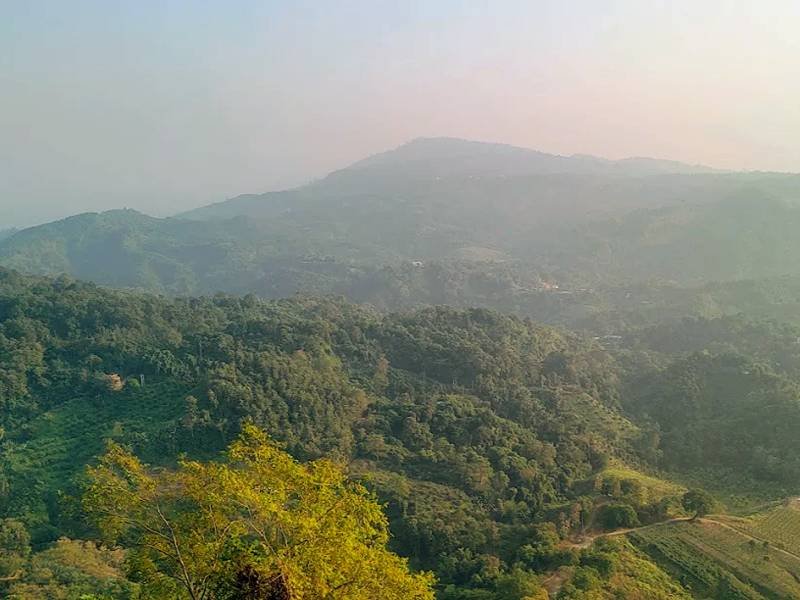
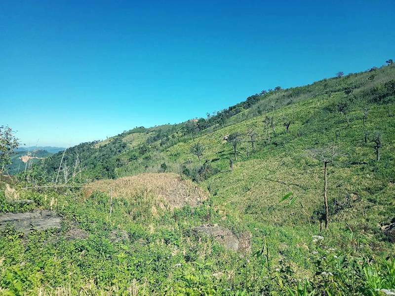
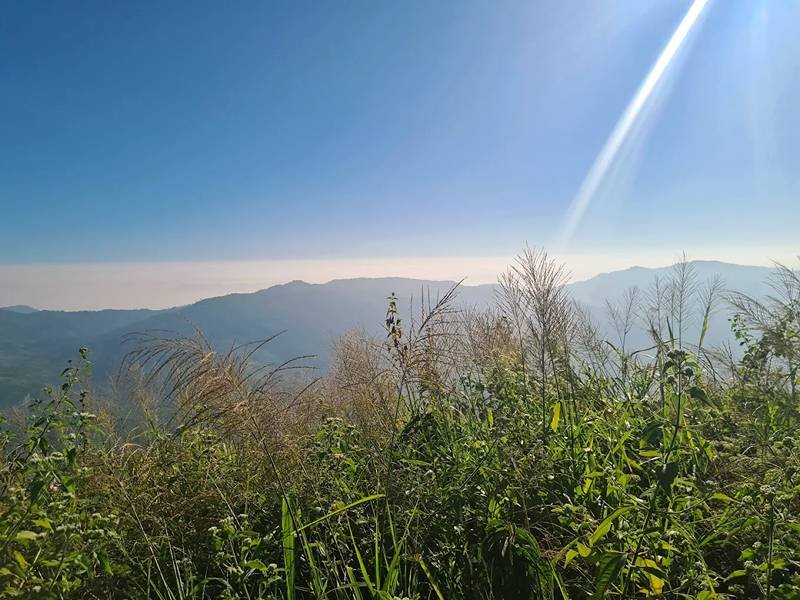
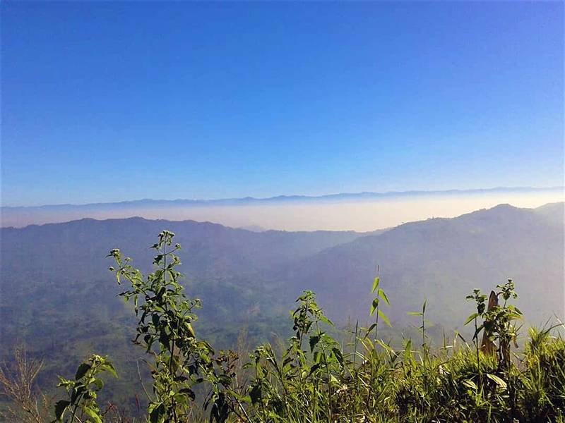
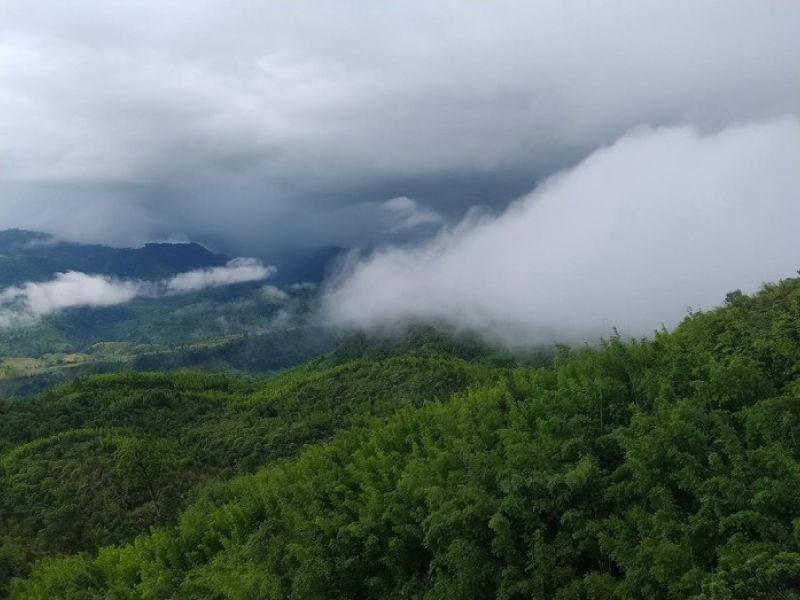
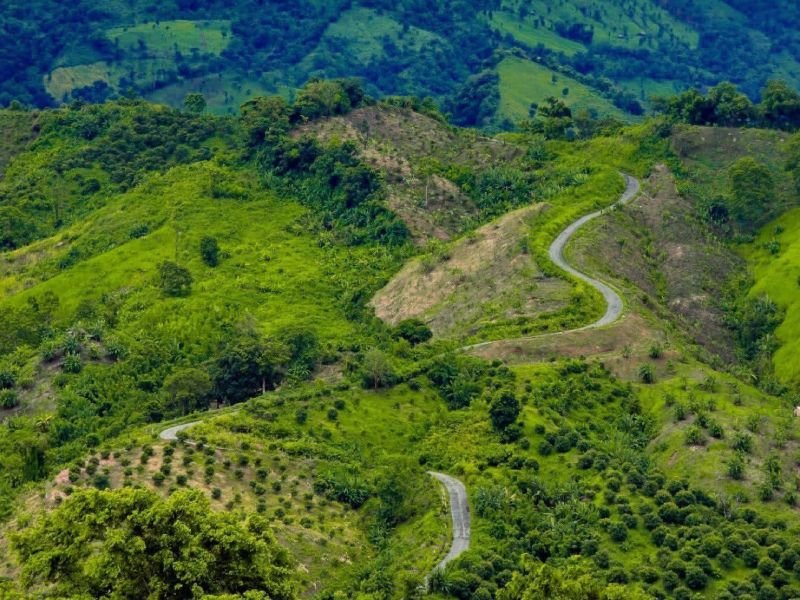
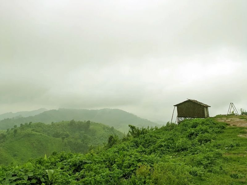
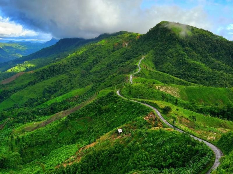
Saka Haphong—also called Modowk Taung or Mowdok Taung, its Tripura tribal name—sits directly on the Bangladesh–Myanmar border in the Mowdok mountain range, and is widely regarded by modern surveys as the country's actual highest point, at roughly 1,052–1,064 metres (3,451–3,488 ft). English adventurer Ginge Fullen first recorded a GPS reading here in February 2006, a figure that closely matched Russian topographic mapping and satellite (SRTM) data. In 2007, the first Bangladeshi team summited the peak, led by Yahya Khan alongside Everest climber Sajal Khaled, and subsequent expeditions in 2011 recorded broadly similar figures.
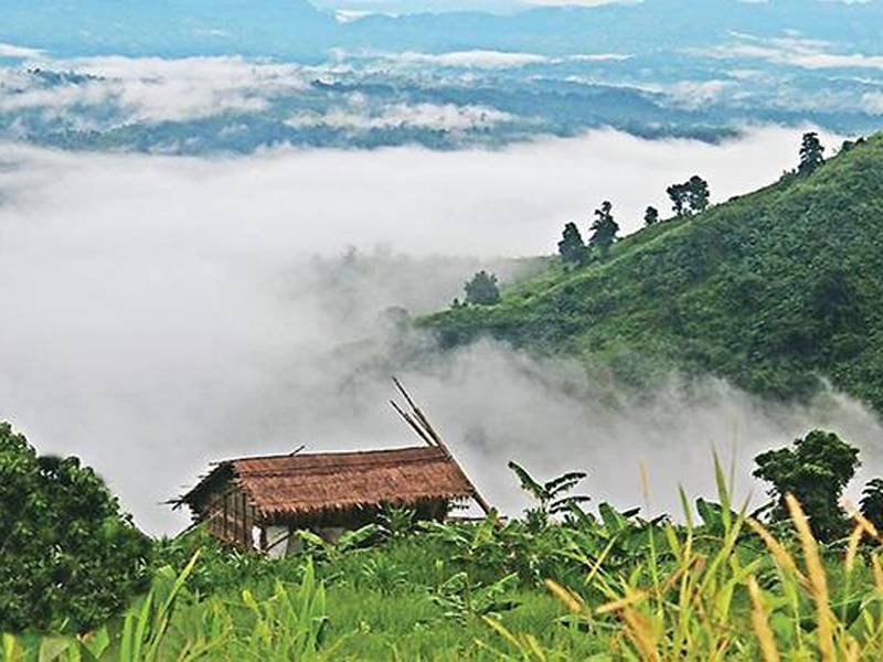
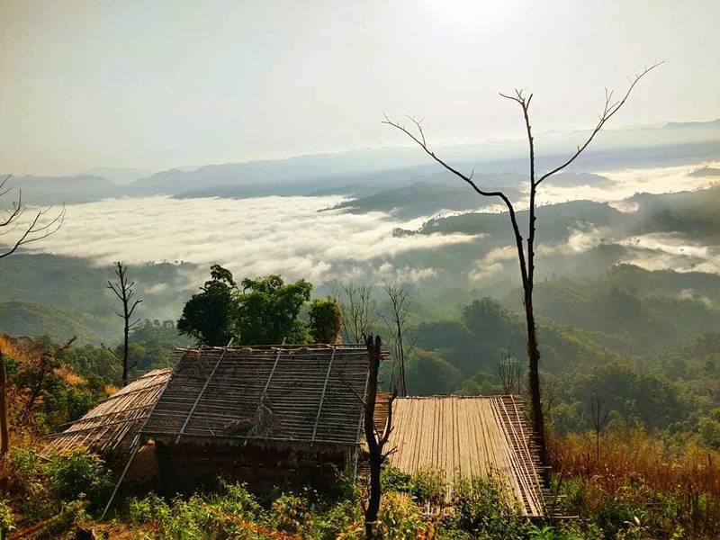
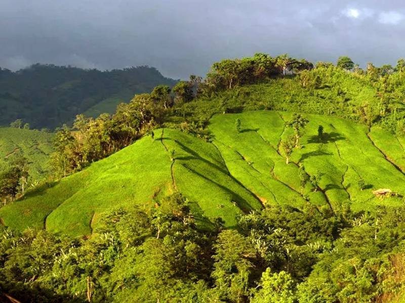
Despite this consistent modern evidence, Saka Haphong has not been formally recognized by Bangladeshi authorities as the official highest peak—that title remains, on paper, with Tazing Dong. The mountain itself supports relatively sparse vegetation near its summit and lies in one of the country's most remote and least-developed regions, home to several local communities and largely free of tourism infrastructure. It remains a serious mountaineering objective rather than a casual trek, appealing mainly to experienced climbers.
Immersive Experience
No 360° Videos available
Destination Gallery