
Bhola Canals
The intricate waterways of Bangladesh's largest island
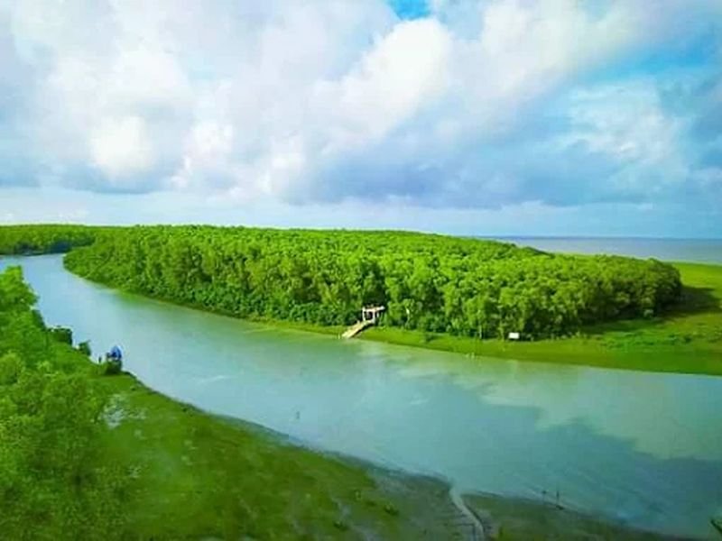
An Island Web. Navigating the Delta's Green Arteries.
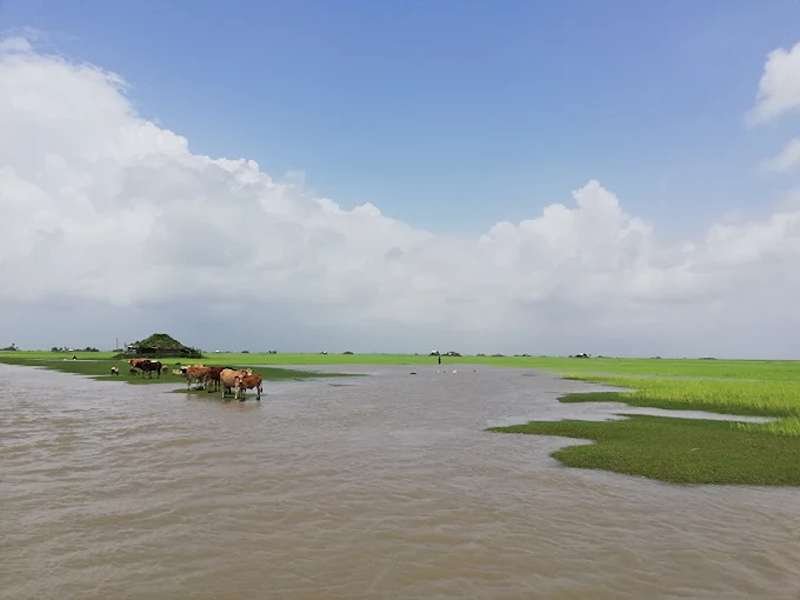
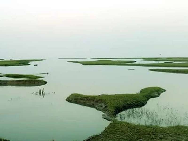
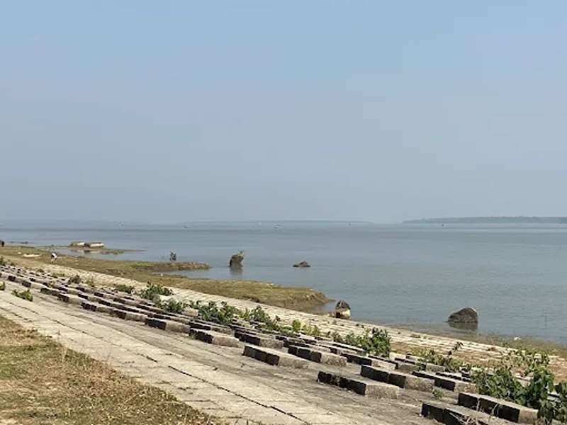
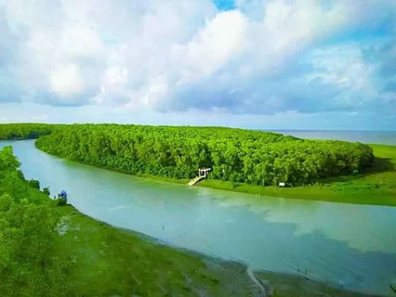
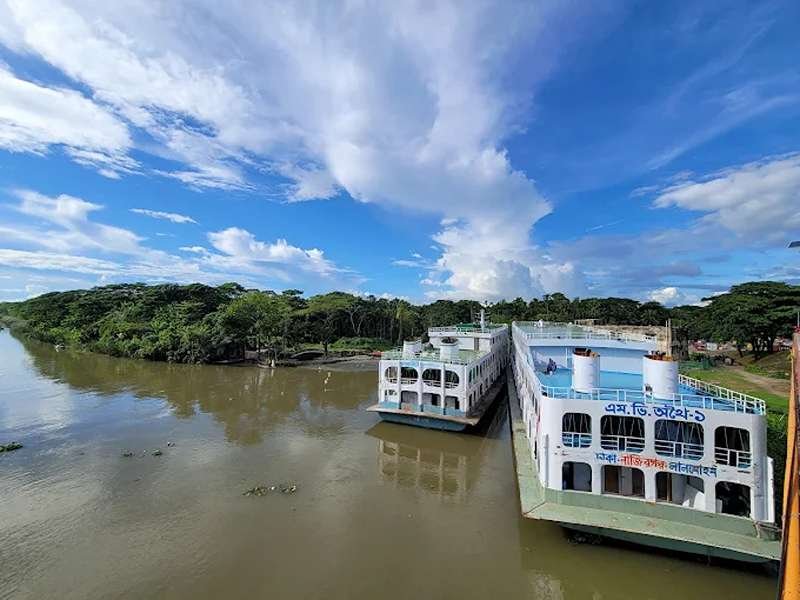
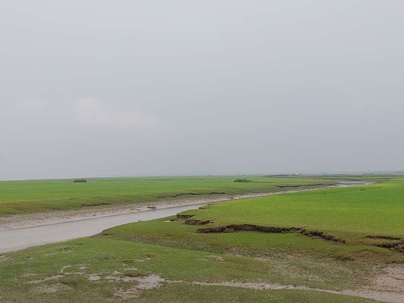
Bhola, the largest riverine island in Bangladesh, is defined by its complex network of canals. Situated in the vast Meghna estuary near the Bay of Bengal, the island's landscape is heavily dissected by these internal waterways, which function as the lifeblood of the local economy and transportation system.
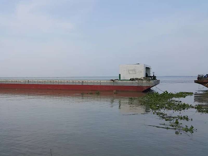
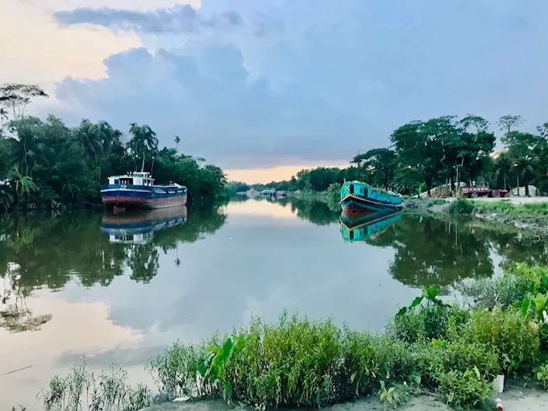
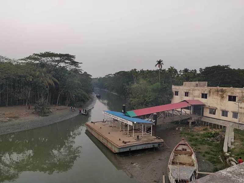
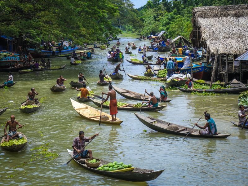
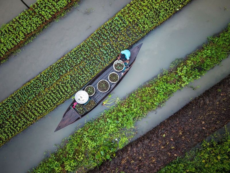
These canals connect isolated rural communities to the main river ports. They are heavily utilized for transporting agricultural goods, particularly betel nuts, coconuts, and winter vegetables, which are grown abundantly in the island's fertile, estuarine soil.
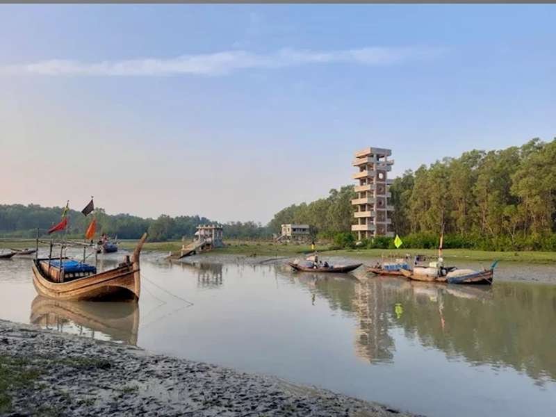
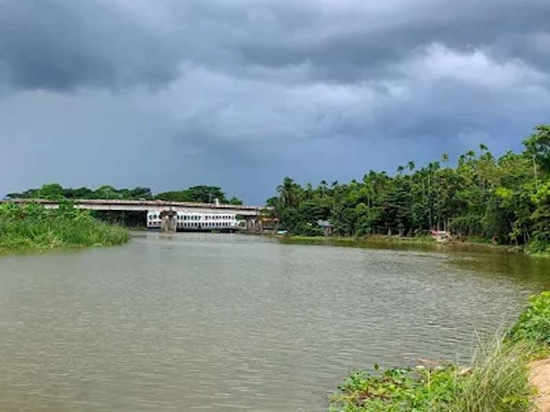
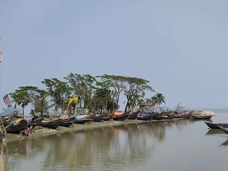
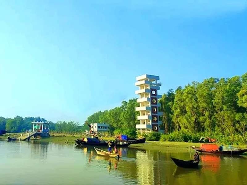
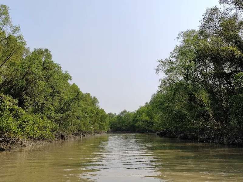
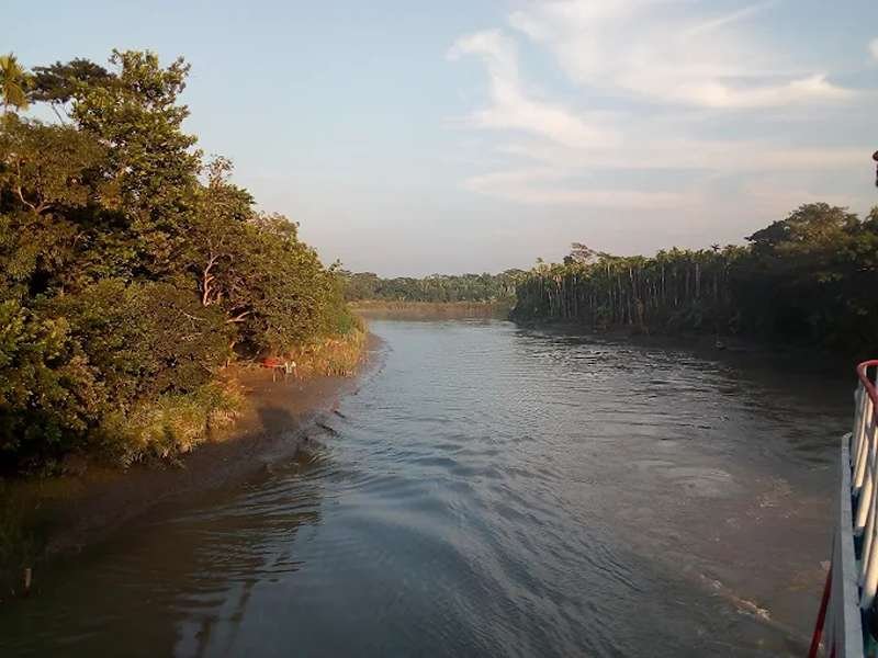
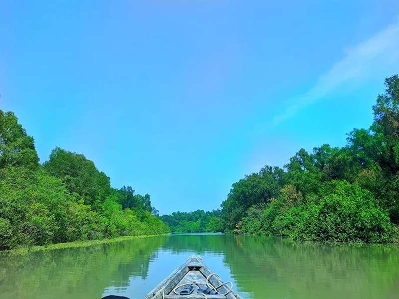
The environment around the canals is strikingly green, bordered by dense palm groves and traditional homesteads. Fishermen use these sheltered waterways to anchor their boats during rough estuarine weather and to cultivate freshwater fish. The tidal nature of the surrounding rivers means the water levels in these canals rise and fall predictably, dictating the rhythm of daily life and travel.
Exploring the Bhola canals offers a deeply authentic view of deltaic resilience. It reveals how island communities have adapted to an environment shaped entirely by water, utilizing the canals for agriculture, trade, and survival.
Immersive Experience
No 360° Videos available
Destination Gallery